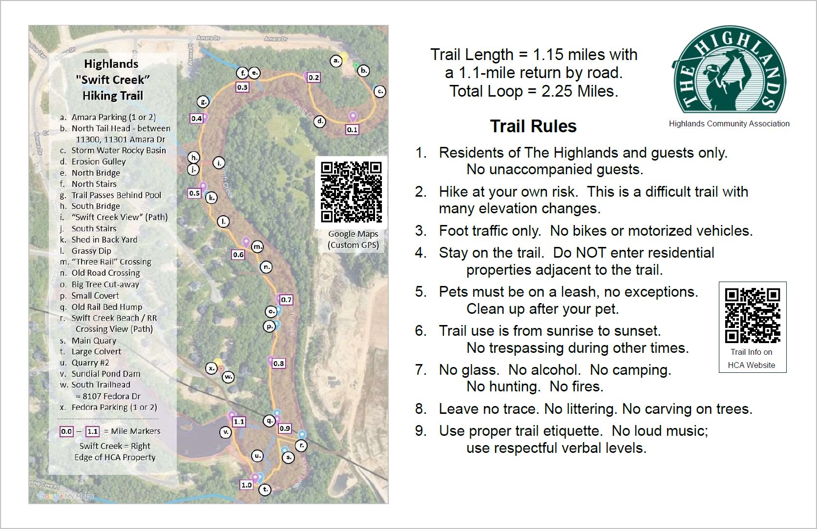
(Residents & Guests Only)
This challenging hiking trail is located along the eastern side of the Highlands “Sundial Farms” neighborhood and follows along Swift Creek.
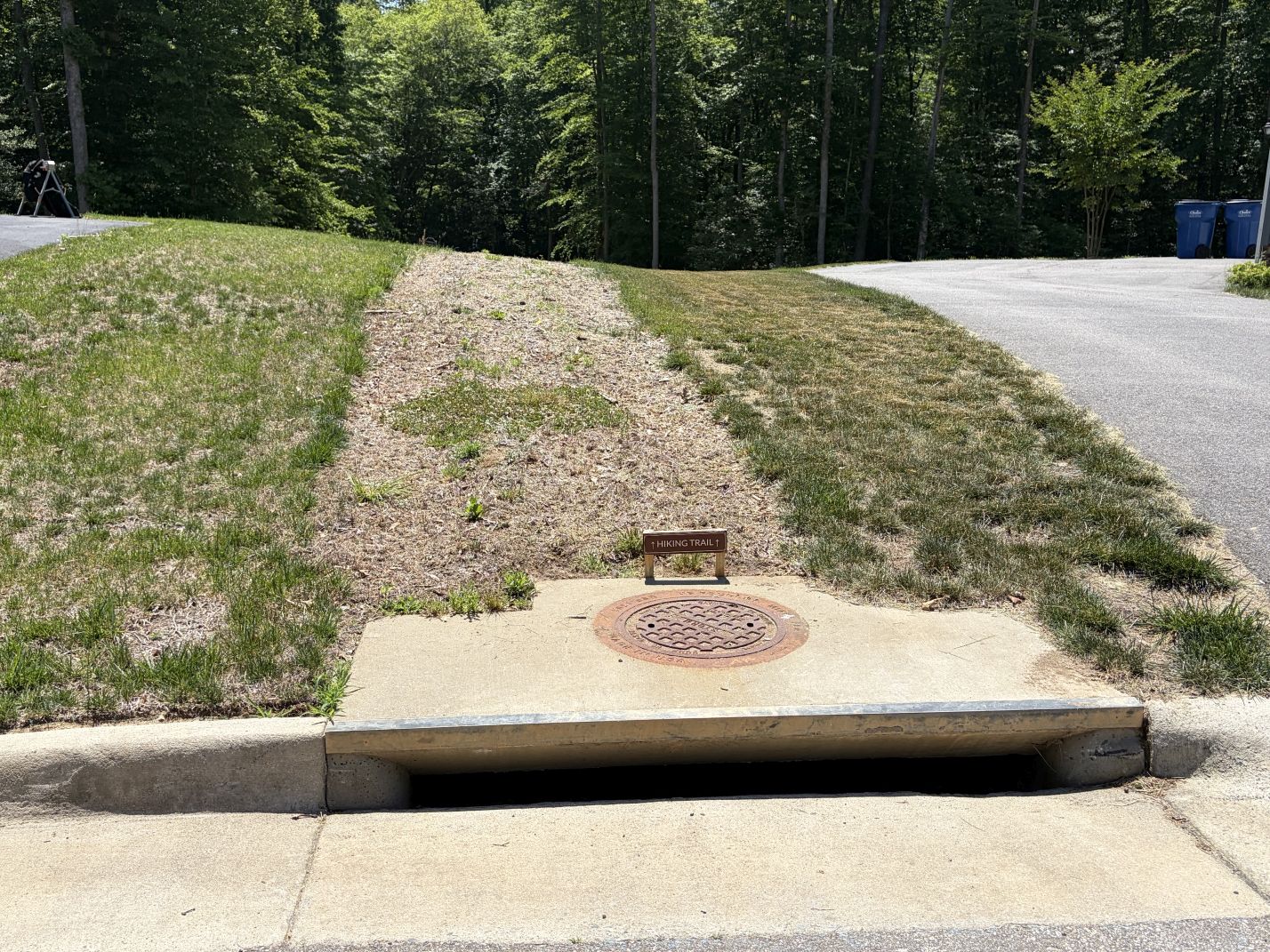
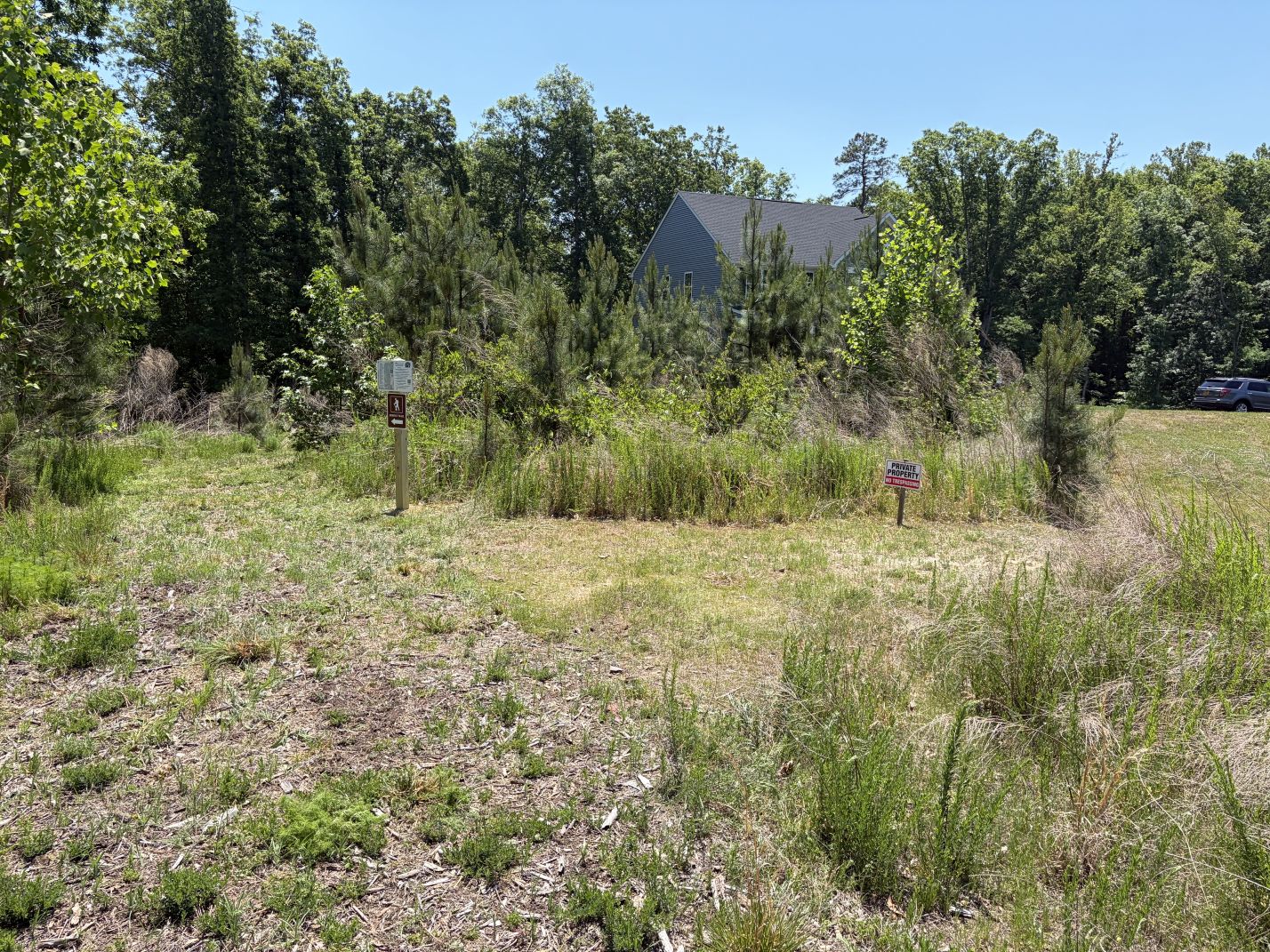
The northern trailhead is located in the northern cul-de-sac of Amara Dr. between houses 11300 & 11301. A path follows the drain pipe down the hill to the trailhead sign.
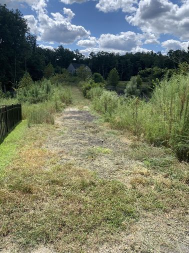
The southern trailhead is located in the eastern cul-de-sac of Fedora Dr. adjacent to the driveway of house 8107. Follow the path across the Sundial Pond dam to the trailhead sign on the far side.
Only 1.15 miles long, but this is a difficult trail with rough terrain and many elevation changes. Hike it both ways or return along the street (1.1 miles).
Go to Custom Google GPS Map
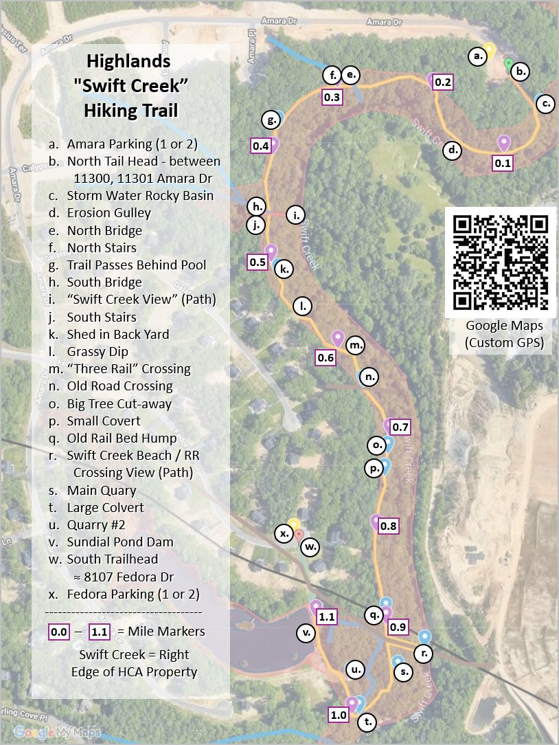
Hiking Trail Highlights
Swift Creek Rail Bridge (Wikipedia Article)
A primary feature on this trail is a side-trail (near the 0.9 mile marker) to a pair of abutments on either side of where the Swift Creek Rail Bridge (trestle) once crossed (1847 – 1917). The railway carried coal (Clover Hill RR) and passengers (Brighthope Railway) from the Winterpock area through Chester to “Osborne Landing” and later to “Bermuda Hundred” (northeast of the Rt.10 bridge into Hopewell).
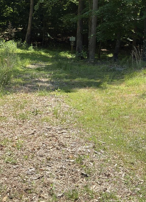
Trail Blazes:
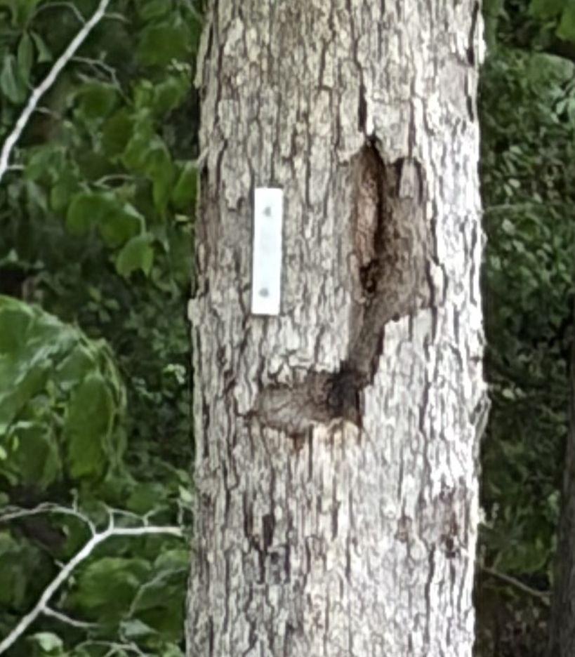

“Pointer” blazes also used to show direction
Look for and follow trail blazes
to ensure you stay on the trail.
You can also use the custom
GPS-style Google Map
to to ensure you stay on the trail.
Trail Rules:
- Residents of The Highlands and guests only. No unaccompanied guests.
- Hike at your own risk. This is a difficult trail with rough terrain and many elevation changes.
- Foot traffic only. No bikes or motorized vehicles.
- Stay on the trail. Do NOT enter residential properties adjacent to the trail.
- Pets must be on a leash, no exceptions. Clean up after your pet.
- Trail use is from sunrise to sunset. No trespassing at other times.
- No glass. No alcohol. No camping. No hunting. No fires.
- Leave no trace. No littering. No carving on trees.
- Use proper trail etiquette. No loud music; use respectful verbal levels.
Safety Suggestions:
- Know where you are going.
- Print out a trail map or save it to your smart phone to carry it with you.
- Save the link to the google GPS map or bookmark this page.
- https://www.google.com/maps/d/u/0/edit?mid=1iTN0tYkSEAxa9d8iEnUT4vHWPQ-uUIs&usp=sharing.
- It helps to review both maps on a PC or laptop before your hike.
- Hike with a friend. Let people/parents know where you are going.
- Carry water. This is especially important on hot days. Do not drink from creeks!!!
- This is a wooded trail. Use bug spray before and/or check for ticks afterward.